Water Water Water Maps
WVFD is always looking for water sources; if you have one on your property and are willing to allow us to use it on occasion or in emergencies PLEASE let us know!
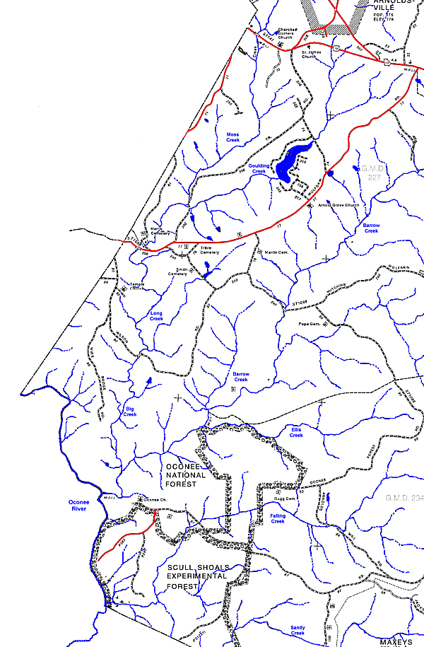
I have constructed, using this website for the original DOT PDF images. I am mostly interested in watersheds, so I colorized the map for clarity. The DOT maps are not recent, so there are places where roads are incomplete or non-existent (Timberland Trail isn't there, for instance, and Faust Farm Road is incomplete). If you see a mistake or incompleteness, feel free to let me know; better yet, sketch it in and email your correction to Wayne.
Here's a very small version of the much larger map, including the Wolfskin District in southwest Oglethorpe County:

Feel free to right-click and save it for yourself as a printable image.
There's a larger version (460 kb) of about the same area that you can download here.
And if you want the whole of Oglethorpe County (1.8 MB!) you can download that here. This version is sizeable and it was my thought to be able to print it out poster size. So far I haven't found a cheap and convenient way to do that. But it would look nice on a wall, wouldn't it?
-Wayne


0 Comments:
Post a Comment
<< Home